Skip to content
Zhanna's SurveyStation
Menu
About
Recoveries
NGS Reports
USGS Reports
Search Recoveries
Map of Recoveries
Browse By Year
Local Databases
USGS Datasheets
Airway Beacons
About Airway Beacons
Eastern U.S.
Western U.S.
Map of Airway Beacons
Historical Airway Maps
Resources
Contact
Zhanna's SurveyStation
Menu
About
Recoveries
NGS Reports
USGS Reports
Search Recoveries
Map of Recoveries
Browse By Year
Local Databases
USGS Datasheets
Airway Beacons
About Airway Beacons
Eastern U.S.
Western U.S.
Map of Airway Beacons
Historical Airway Maps
Resources
Contact
Location:
Sevenmile Bridge Quad
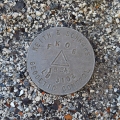
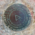
FK06 LB 3102
Keith & Schnars
Geodetic Control Survey Disk
Florida
Monroe County
Sevenmile Bridge Quad
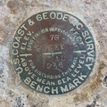
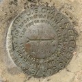
B 70 RESET
NGS
Bench Mark Disk
Florida
Monroe County
Sevenmile Bridge Quad
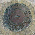
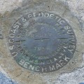
872 4093 TIDAL 1
NGS
Bench Mark Disk
Florida
Monroe County
Sevenmile Bridge Quad
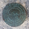
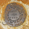
DUCK 2 RM 1
NGS
Reference Mark Disk
Florida
Monroe County
Sevenmile Bridge Quad
DUCK 2
NGS
Triangulation Station Disk
Florida
Monroe County
Sevenmile Bridge Quad
KNIGHT RM 2
NGS
Reference Mark Disk
Florida
Monroe County
Sevenmile Bridge Quad
Y 69 RESET
NGS
Bench Mark Disk
Florida
Monroe County
Sevenmile Bridge Quad
U 278
NGS
Bench Mark Disk
Florida
Monroe County
Sevenmile Bridge Quad
V 278
NGS
Bench Mark Disk
Florida
Monroe County
Sevenmile Bridge Quad
C 17
Florida DOT
Survey Disk
Florida
Monroe County
Sevenmile Bridge Quad
Older posts
Page
1
Page
2
Next
→