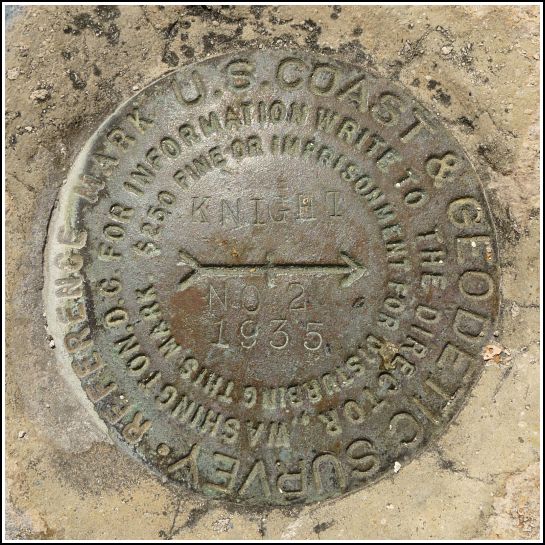
KNIGHT RM 2 (AA0300)
Recovered in Good Condition on February 19, 2014
Spatial/elevation data
| Coordinates | N 24.707016° W 81.124733° |
| Elevation | 24.42 ft. |
| Location | Florida
Monroe County Sevenmile Bridge Quad |
Mark description
| Type | Reference Mark Disk |
| Setting | Bridge Wingwall |
| Monumented | 1935 by NGS |
| Description (NGS) | NGS Datasheet |
NGS recovery information
Descriptive text
Recovered in good condition on the south wingwall of the east abutment of Old Seven Mile Bridge. The reference mark is on the same wingwall as the station KNIGHT 2 and is approximately 10 feet southeast of that station.Narrative and photographs
For more information about this reference mark, see its parent mark KNIGHT 2.

