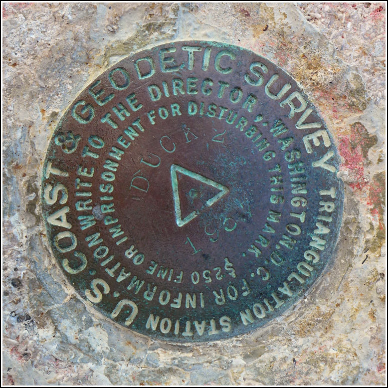
DUCK 2 (AA0282)
DUCK 2
Recovered in Good Condition on February 18, 2016
Spatial/elevation data
| Coordinates | N 24.682436° W 81.228377° |
| Elevation | 15.69 ft. |
| Location | Florida
Monroe County Sevenmile Bridge Quad |
Mark description
| Type | Triangulation Station Disk |
| Setting | Bridge Wingwall |
| Monumented | 1937 by NGS |
| Description (NGS) | NGS Datasheet |
NGS recovery information
Descriptive text
The station and RM 1 were recovered in good condition on the north wingwall at the west end of the old seven mile bridge. This section of the former bridge is now a fishing pier and part of a recreational trail. The current Seven Mile Bridge is directly south of the old bridge.Narrative and photographs
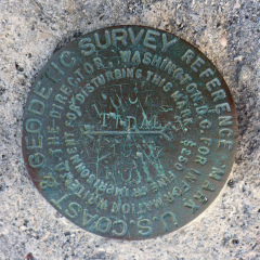
Rich and I found DUCK 2 in the same way we made most of our survey mark finds on this trip: just by pulling off the road at each end of the bridges and taking a look. As a side-of-the-road tri-station with only one reference mark it may not appear to be too exciting, but it was really quite bizarre in that another disk (benchmark B 70 RESET) is set into the wingwall less than a foot from DUCK 2! And there are two other marks on this same abutment. Our current hypothesis is that NGS surveyors convinced their bosses that they really, really needed to set lots of marks in the Keys. And the work had to be done in January. :)


| Designation | Status | Condition | Image |
|---|---|---|---|
| DUCK 2 RM 1 | Recovered | Good |
|