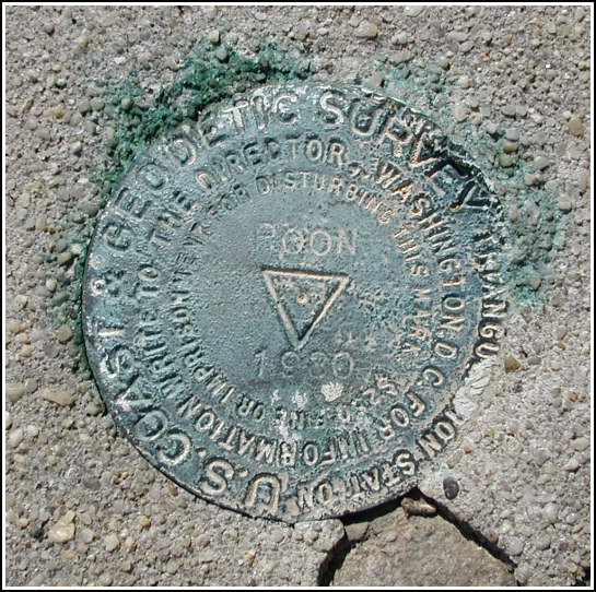
ROON (KU4063)
ROON
Spatial/elevation data
| Coordinates | N 40.985983° W 73.9065° |
| Elevation | 321 ft. |
| Location | New Jersey
Bergen County Yonkers Quad |
Mark description
| Type | Triangulation Station Disk |
| Setting | Rock Outcrop |
| Monumented | 1930 by NGS |
| Description (NGS) | NGS Datasheet |
NGS recovery information
Descriptive text
The station mark and reference mark 1 were recovered in good condition. The station mark is located at the center of a large white painted cross such as those used for aerial surveys. Reference mark 2 was not searched for at this time due to the heavy growth of poison ivy in the area. The witness mark was not found.Narrative and photographs
Rich and I had a few tri-stations in mind as possible diversions on our day-trip to the Palisades, but the main goal of the day was just hiking and exploring. ROON was so close to the parking area we couldn’t resist taking a look for it before beginning the rest of the day’s adventures.
Poison ivy was abundant near ROON, but fortunately we found the station mark (which is marked by a large painted white cross) without incident.
RM 1 was spotted on the far end of a poison ivy-blanketed boulder; we were able to find a steady perch and take a few photos carefully.
Walking the bearing to RM 2 indicated on the datasheet would have taken us right into the largest patch of poison ivy in the area, so we decided to avoid it at present.
We took a cursory glance around for the drill hole (witness mark) without results. The boulders previously lining the east side of the road seem to have been either replaced or built into a more solid stone wall. Several of them have drill holes through, but there’s no way of knowing which may have been the witness mark, if any. None was at the precise location indicated on the datasheet.


| Designation | Status | Condition | Image |
|---|---|---|---|
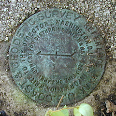
| ROON RM 1 | Recovered | Good |
|
| ROON RM 2 | Not Found | Unknown (Not Found) |

|