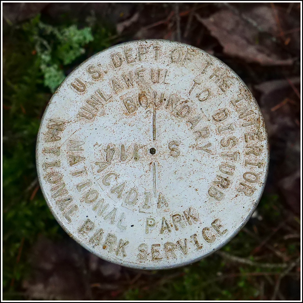
S 114
S 114
Recovered in Good Condition on September 14, 2022
Previous recovery (September
11, 2014)
Spatial/elevation data
| Coordinates | N 44.315601° W 68.250856° |
| Elevation | Unknown |
| Location | Maine
Hancock County Seal Harbor Quad |
Mark description
| Type | Boundary Monument |
| Setting | Pipe Cap |
| Monumented | Unknown by National Park Service |
Narrative and photographs
While hiking along the entire length of the Seaside Path from Seal Harbor to Jordan Pond, Rich spotted this mark just to the left of the trail as we neared the Jordan Pond carriage roads. It looked familiar, and when we returned to our room I checked my website. Yep! We’ve found this mark before. But it’s always worth giving an update. The mark is still in good condition alongside the path. It appears to be suffering some corrosion, but it is still solid in its setting.


