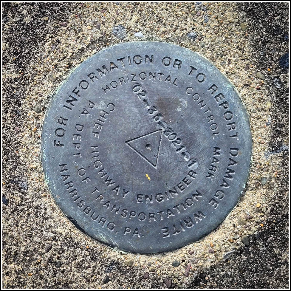
02-35-3021-1
02-35-3021-1
Recovered in Good Condition on June 9, 2026
Spatial/elevation data
| Coordinates | N 41.387388° W 75.663256° |
| Elevation | 835.41 ft. |
| Location | Pennsylvania
Lackawanna County Scranton Quad |
Mark description
| Type | Horizontal Control Mark |
| Setting | Concrete Wall |
| Monumented | 2002? by PennDOT |
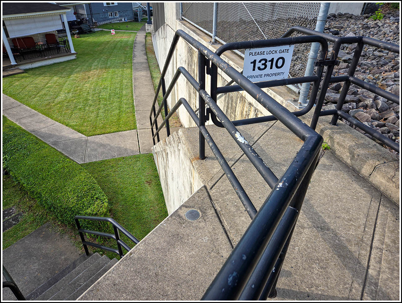
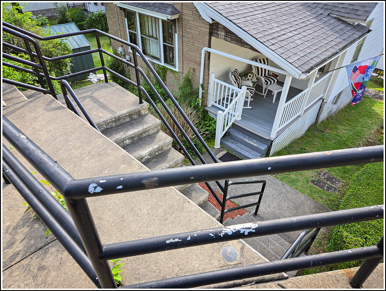
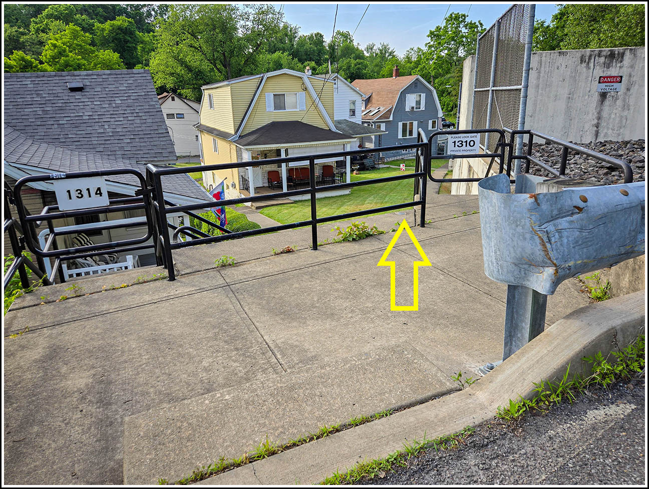
| Description (PennDOT) | The disk is on top of a wall and steps that lead down to houses. |
Narrative and photographs
Out for a walk this evening, my goal was to search for two PennDOT marks that I found on the PennDOT PAMS website. The first one had an interesting description, and it looked like a neat area on the Street View. The mark was found as described, on a wall with steps leading down to several houses on a level below. Signs at the site indicate that the addresses are 1310 and 1314 (Stafford Avenue, I assume). The disk is in good condition.