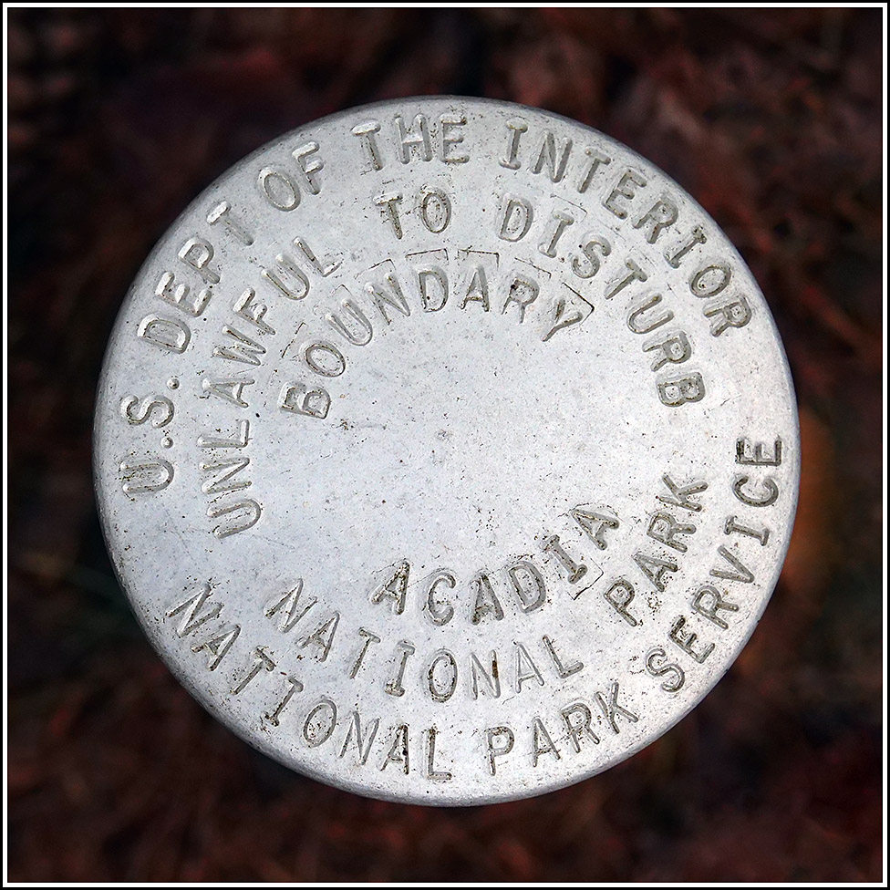
NPS (Unstamped, Acadia #9)
NPS (Unstamped, Acadia #9)
Recovered in Good Condition on September 19, 2022
Spatial/elevation data
| Coordinates | N 44.412276° W 68.274156° |
| Elevation | Unknown |
| Location | Maine
Hancock County Salsbury Cove Quad |
Mark description
| Type | Boundary Monument |
| Setting | Pipe Cap |
| Monumented | Unknown by National Park Service |
| Description (National Park Service) | Unavailable. |
Narrative and photographs
While exploring the west side of Lake Wood today, we followed an old woods road (which is likely to be a bridle path, actually) west from the parking area near the lake, unsure where it went or what we might find along the way. After just about a quarter mile, we encountered the park boundary and this “Acadia Boundary” monument. It is unstamped, so I don’t know the date it was set or even have a designation to identify it. The boundary is shared with a horse farm and is well posted. We followed the boundary line northeast and found a few smaller, local surveyor’s marks, but no other NPS disks marking the boundary as far as we could see. This disk is in good condition (it looks quite new).


