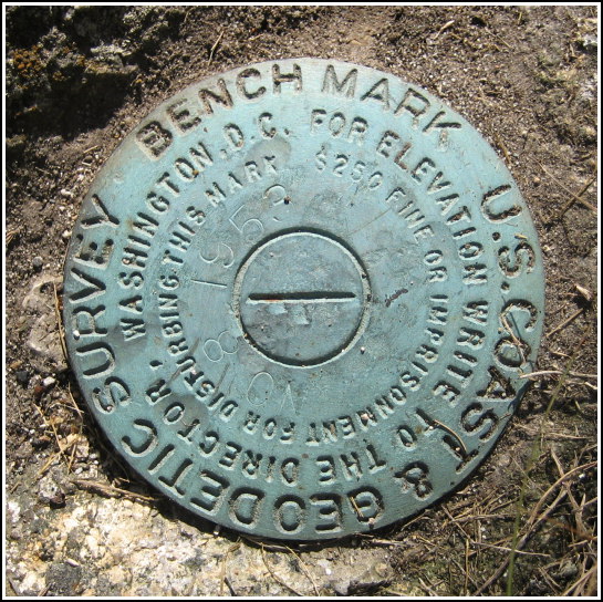
TIDAL 8 STA 12 (PE0297)
TIDAL 8 STA 12
Recovered in Good Condition on September 12, 2007
Spatial/elevation data
| Coordinates | N 44.277033° W 68.313566° |
| Elevation | 16.24 ft. |
| Location | Maine
Hancock County Southwest Harbor Quad |
Mark description
| Type | Tidal Bench Mark Disk |
| Setting | Rock Outcrop |
| Monumented | 1953 by NGS |
| Description (NGS) | NGS Datasheet |
NGS recovery information
Descriptive text
Recovered in good condition. Handheld GPS WAAS-corrected coordinates for the mark are 44 16 37.3(N) 068 18 48.8(W).Narrative and photographs
This tidal mark was an easy find after a fantastic lobster lunch at Beal’s nearby. It’s set into a rock outcrop flush with the ground in a lawn just a few feet north of Clark Point Road. The disk is in good condition with legible stamping.


