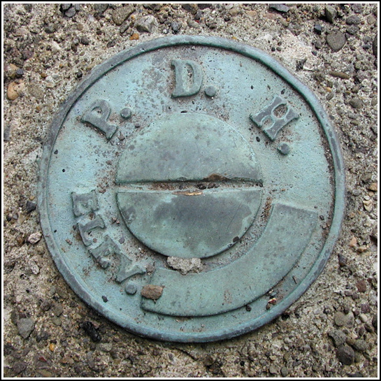
PDH
Recovered in Good Condition on July 4, 2003
Spatial/elevation data
| Coordinates | N 41.498366° W 76.1312° |
| Elevation | Unknown |
| Location | Pennsylvania
Wyoming County Dutch Mtn Quad |
Mark description
| Type | Elevation Mark |
| Setting | Bridge Wingwall |
| Monumented | Unknown by PA Dept. of Highways |
| Description (PA Dept. of Highways) | Unavailable. |
Narrative and photographs
The Roaring Brook Cache was our main goal on this Fourth of July, but along the way we saw this bridge and I thought it looked like a good place for a benchmark. What do you know, it was!

 White Brook.")