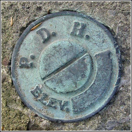
PDH
PDH
Recovered in Good Condition on July 4, 2003
Spatial/elevation data
| Coordinates | N 41.50915° W 75.842133° |
| Elevation | Unknown |
| Location | Pennsylvania
Wyoming County Factoryville Quad |
Mark description
| Type | Elevation Mark |
| Setting | Bridge Wingwall |
| Monumented | Unknown by PA Dept. of Highways |
Narrative and photographs
While on a scouting mission to see how far I could get on the old Northern Electric railbed near Lake Winola, I spotted this mark on the north wingwall of a bridge near the boat ramp.
