942.29 (LY1759)
942.29
Spatial/elevation data
| Coordinates | N 41.525533° W 75.5456° |
| Elevation | 942.28 ft. |
| Location | Pennsylvania
Lackawanna County Carbondale Quad |
Mark description
| Type | Chiseled Cross |
| Setting | Bridge Abutment |
| Monumented | Unknown by Delaware and Hudson Railroad |
| Description (NGS) | NGS Datasheet |
Narrative and photographs
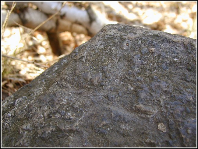
Eagle-eyes are required to discern this chiseled cross. I was looking directly at it and still wasn’t positive I had found the mark. Fortunately Rich was there and was able to confirm it. He explained to me how he thought the bridge had been modified. We also spent a few minutes poking around in the brush looking for LY1758, which should be somewhere nearby—but the description didn’t seem to match the surroundings.

(Recovered on April 20, 2003)
N 41° 31.532’ W 075° 32.736’
This vertical control station was rather difficult to locate. The historic description leads roughly to the site. The bridge abutments appear to have been modified and the rails raised at some time since the original construction. A barely discernable chiseled cross, approximately 3 inches by 3 inches, is located on the southwest corner of the first stone of the uppermost tier (not the concrete section) from the west end of the south bridge abutment. At the station mark my Garmin GPSmap76 receiver indicated 126 feet from the NGS datasheet coordinates. ~Rich in NEPA~


