867.19 (LY1345)
867.19
Spatial/elevation data
| Coordinates | N 41.481167° W 75.552383° |
| Elevation | 866.76 ft. |
| Location | Pennsylvania
Lackawanna County Olyphant Quad |
Mark description
| Type | Chiseled Cross |
| Setting | Bridge Abutment |
| Monumented | Unknown by Delaware and Hudson Railroad |
| Description (NGS) | NGS Datasheet |
Narrative and photographs
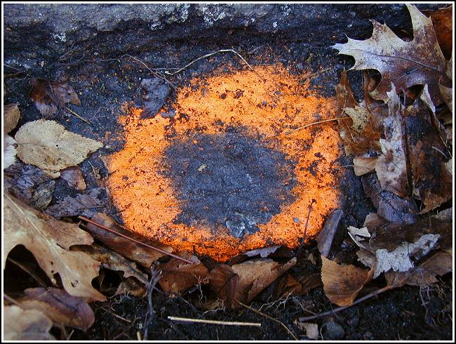
Rich and I rode right up the tracks (well, next to them) from ly1345 to grab this next mark in the series. I had actually seen it already, late in the evening of the 18th after locating Rich’s “Valley View” cache, but I wasn’t prepared to log it at that time. This chiseled cross is in fine condition and is hard to miss now that it’s been marked so clearly. Rich did an amazing amount of work in order to uncover this mark, and I’m still in total awe.
.")

(Recovered on April 10, 2003)
N 41° 28.870’ W 075° 33.143’
This vertical control station is about 0.17 mile west from the intersection of the D&H railroad and Breaker St. in Winton. The historic description is confusing with regard to the cardinal compass directions at the site. A chiseled cross is located on the 3rd stone from the west end of the bottom course of the south abutment. At the station mark my Garmin GPSmap76 receiver indicated 49.1 feet from the NGS datasheet coordinates. I had to dig down about 12-14 inches to unearth a projection on the stone with the mark on its upper surface. It is quite difficult to discern. I circled the mark with orange paint and indicated the location on the side of the structure. ~Rich in NEPA~


