Beacon 70
by Dick Merrill
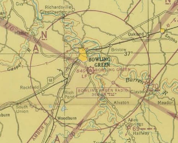
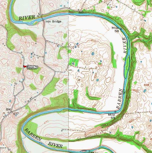
On October 26, 2013 I visited the Bowling Green, KY area in an attempt to document the location, and any remaining evidence of Airway Beacon 70; beacon 70 was a lighted beacon on the Dallas to Cincinnati airway. While in the area, I also explored the remains of the Bowling Green AN radio range. The excerpt below from the 1945 Nashville sectional aeronautical chart shows the Bowling Green radio range located about 5 miles southeast of the Bowling Green airport. Beacon 70 is about 10 miles east of the airport, just inside the magenta 10 mile radius ring, surrounding the airport. Airway beacons are shown on charts as a star with two arrows pointing to the next beacon on the airway. Beacon 70 is also west of the Barren River, off of S. Ben Thomas Road. (See Topo map below)
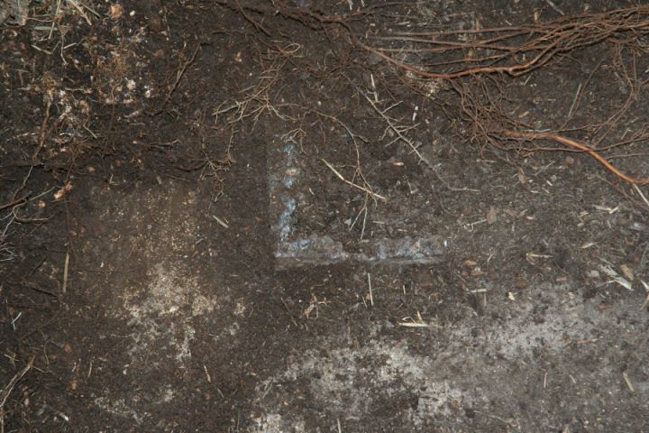
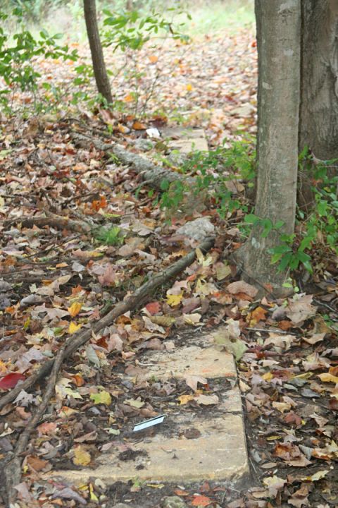
The Beacon 70 site was located using a handheld Garmin 496 GPS receiver and was found at the coordinates shown on the NGS data sheet shown below. The coordinates are 36 56 01.80065(N) and 086 15 32.88192(W). The beacon tower is gone but a concrete slab remains within a small grove of trees. The tower leg locations can be seen but only a small portion of the legs remain as they were cut off close to the slab during abandonment operations. The tower orientation was determined by sighting along the southerly tower leg stubs and was found to be running in a southeast-northwest direction at about 120 – 300 degrees.
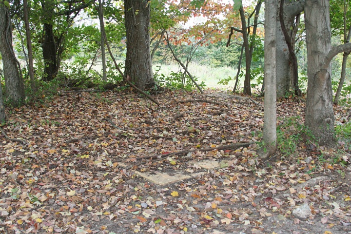
Clump of trees in the left background may have been the location of a generator shack if one was installed. Since the site was adjacent to a county road power was likely from a commercial line.
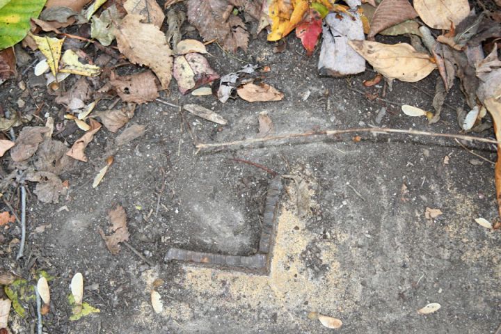
I did not find any trace of the northeast tower stub, but it may have been covered by plant debris or it is possible the slab was poured after tower construction and the missing stub is not covered by the slab. I hope to return to this site soon and clean off the slab and try to find the northeast stub and study any other artifacts present.
