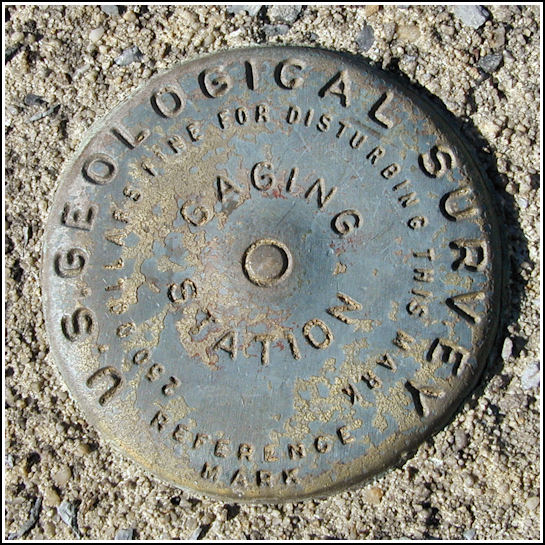
USGS GAGING STATION 01449800
USGS GAGING STATION 01449800
Recovered in Good Condition on April 15, 2005
Spatial/elevation data
| Coordinates | N 40.845367° W 75.64605° |
| Elevation | 492.05 ft. |
| Location | Pennsylvania
Carbon County Lehighton Quad |
Mark description
| Type | Gaging Station Disk |
| Setting | Concrete Base |
| Monumented | Unknown by USGS |
Narrative and photographs
After spending a very pleasant morning hunting fossils nearby along the shore of Beltzville Lake, I decided to check out this stream gaging station (which I had seen before), curious if a benchmark might be set nearby. I’ve seen them a few times before at gaging stations. To my delight, one was set here, too.


