FORT (TZ4834)
FORT
Spatial/elevation data
| Coordinates | N 24.629638° W 82.87286° |
| Elevation | 44 ft. |
| Location | Florida
Monroe County Dry Tortugas Quad |
Mark description
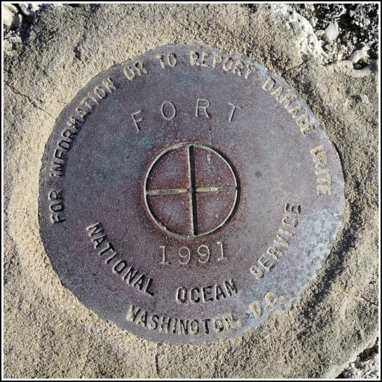
| Type | Survey Disk |
| Setting | Concrete Rampart |
| Monumented | 1991 by National Ocean Service |
| Description (NGS) | NGS Datasheet |
NGS recovery information
Descriptive text
Recovered in good condition.Narrative and photographs
Of the three disks we found at Fort Jefferson today, this was the only one we knew about in advance (because it’s in the NGS database). It was so exciting to climb to the top of the fort, but what made it even better was searching for and finding this benchmark on top of the rampart! There are beautiful views in every direction, including toward the Loggerhead Key lighthouse toward the west (which is a landmark station). This disk is in very good condition, and it’s also in an excellent picnic spot! While we rested in the sunshine near this mark, we watched a lizard making his way along some of the prickly pear cactus pads that are growing on top of the fort. We suspect that seeds were dropped here by migrating birds and eventually germinated.

