WHITEFACE MOUNTAIN SUMMIT HOUSE (PG2105)
WHITEFACE MOUNTAIN SUMMIT HOUSE
Spatial/elevation data
| Coordinates | N 44.366° W 73.903133° |
| Elevation | Unknown |
| Location | New York
Essex County Lake Placid Quad |
Mark description
| Type | Landmark/Intersection Station |
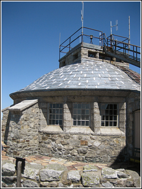
| Setting | Stone Building |
| Monumented | 1942 by NGS |
| Description (NGS) | NGS Datasheet |
NGS recovery information
Descriptive text
Recovered in good condition. Summit house and light are as described.Narrative and photographs
On the final morning of our “Adirondack Mini-adventure,” Rich and I decided to do the tourist thing and drive to the top of Whiteface. Well, it wasn’t a disappointment — and not only because there were two survey marks here to log! The drive itself was well worth the $14.00 toll, and our experience only improved as we neared the top. We decided to hike up the last several hundred feet from the castle to the summit, and when we were done, take the elevator back down the 27 stories to the tunnel, which emerges from the mountain just east of the castle. The elevator leaves from within the beautiful stone summit house which, along with the associated tunnel system, dates from 1937-1938. The light atop the summit house is the intersected point, as mentioned on the datasheet, and it appears to be in good condition.