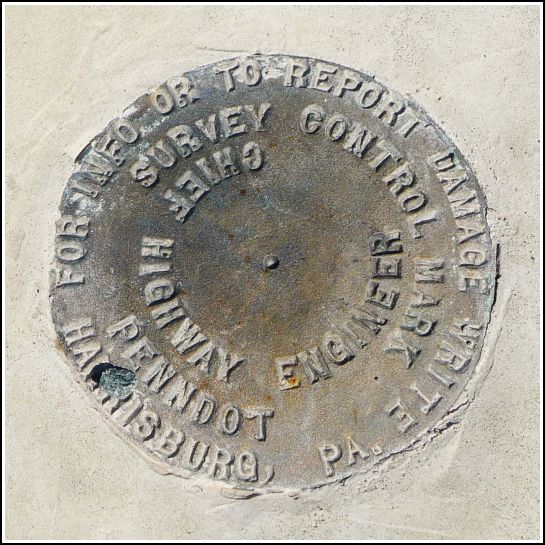
PennDOT (Unstamped, #3)
Recovered in Good Condition on June 28, 2014
Spatial/elevation data
| Coordinates | N 41.509365° W 75.304427° |
| Elevation | Unknown |
| Location | Pennsylvania
Wayne County Honesdale Quad |
Mark description
| Type | Survey Control Mark |
| Setting | Bridge Wingwall |
| Monumented | Unknown by PennDOT |
| Description (PennDOT) | Unavailable. |
Narrative and photographs
We were on a roll! After a disappointing search for TT 9 J, we drove along Middle Creek Road and decided to check out the many bridges along the way. 48 DSW was our first serendipitous find—pretty exciting because it’s a USGS disk. And on the next bridge, we found this new PennDOT mark.
The disk is in good condition, as it probably should be because both the bridge and the disk are new (the bridge was built at some point after 2009, according to Wayne County planning documents). The disk is unstamped, possibly because it hasn’t been surveyed yet (this is our assumption). When we’re in the area in the future, we will check to see whether the disk has been stamped.

