BURNT COAT HARBOR LIGHTHOUSE (PE1864)
BURNT COAT HARBOR LIGHTHOUSE
Spatial/elevation data
| Coordinates | N 44.134183° W 68.44725° |
| Elevation | Unknown |
| Location | Maine
Hancock County Swans Island Quad |
Mark description
| Type | Landmark/Intersection Station |
| Setting | Lighthouse |
| Monumented | Unknown by Unknown Agency |
| Description (NGS) | NGS Datasheet |
NGS recovery information
Descriptive text
Recovered in good condition.Narrative and photographs
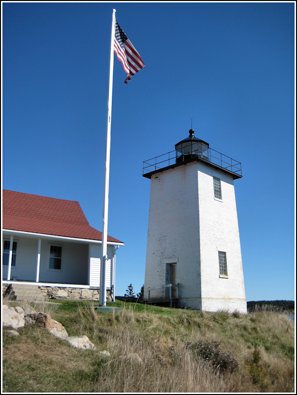
Rich and I spent today exploring Swans Island by bike. Of course, we also had the goal of finding a survey station or two. Burnt Coat Harbor lighthouse was on our list of possibilities. The ride from the ferry terminal to the lighthouse was fun and beautiful, and full of rolling hills—the last hill leading to the lighthouse itself was short but steep!
The grounds were deserted, so we could poke around to our hearts’ content. We spotted a little red outbuilding, which I at first assumed was a shed or even an outhouse. Aside from the lighthouse and the keeper’s quarters, we spotted a small white building with sloping sides sitting right at the water’s edge. I later learned from New England Lighthouses: A Virtual Guide that these structures were most likely the oil house (built in 1895) and the bell tower (built in 1911). The lighthouse itself, dating from 1872, does not appear to have been damaged in any way, and according to the NPS Inventory of Historic Light Stations, the tower has not been moved. Therefore I will consider this station in good condition and recover it as such.


