TIDAL 2 STA 30
Spatial/elevation data
| Coordinates | N 44.4695° W 68.810667° (estimate) |
| Elevation | 6.95 ft. |
| Location | Maine
Waldo County Castine Quad |
Mark description
| Type | Tidal Bench Mark Disk |
| Setting | Boulder |
| Monumented | 1948 by NGS |
| Description (NGS) | NGS Datasheet |
Narrative and photographs
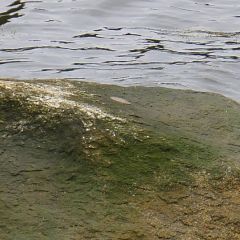
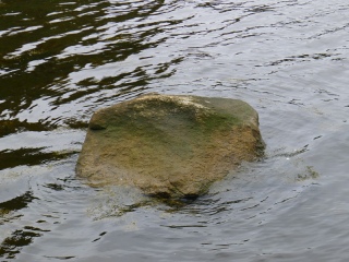
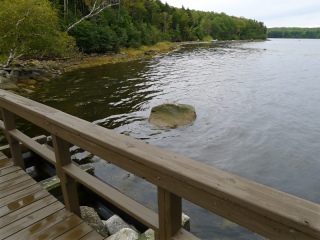
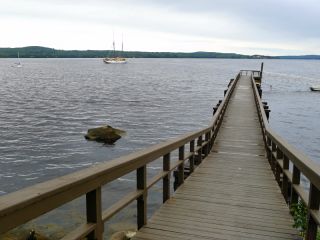
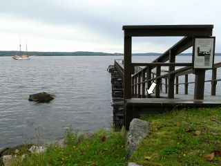
Like D 147, this mark has also eluded us at present. While searching the area for large boulders that might hold any of the tidal marks, we walked out onto the pier and I happened to spot what appears to be a disk set into this boulder. Obviously, our visit was during high tide and the boulder and mark were inaccessible. Our best guess, based on the location and the distances given from pier cribbings, is that if this is indeed a tidal bench mark, it is TIDAL 2 STA 30.
We were working from the NOS description, as follows (note that it differs from the NGS description):
The bench mark is a disk set in top of a 3 m x 3m x 2 m (10 ft x 10 ft x 8 ft) boulder just off the south shoreline, 18.17 m (59.6 ft) SSW of the north corner of the third pier cribbing, 9.06 m (29.7 ft) west of the north corner of the second pier cribbing, and 8.55 m (28.0 ft) south of the north corner of the first cribbing, and approximately 2 m (6 ft) above the beach.

