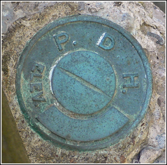
PDH
PDH
Recovered in Good Condition on July 14, 2007
Spatial/elevation data
| Coordinates | N 41.37305° W 75.60815° |
| Elevation | Unknown |
| Location | Pennsylvania
Lackawanna County Moscow Quad |
Mark description
| Type | Elevation Mark |
| Setting | Bridge Wingwall |
| Monumented | Unknown by PA Dept. of Highways |
| Description (PA Dept. of Highways) | Unavailable. |
Narrative and photographs
We located an old, unstamped PDH mark on the southeast wingwall of this bridge along Route 307, beneath one of the typical-style PDH bridge plaques. The plaque indicates that the bridge dates from 1939. This disk is in fine condition but has no designation or date.
