BUFFALO NEW YORK AIRWAY BCN 17
Spatial/elevation data
| Coordinates | N 41.5348° W 75.899583° |
| Elevation | Unknown |
| Location | Pennsylvania
Wyoming County Tunkhannock Quad |
Mark description
| Type | Landmark/Intersection Station |
| Setting | Airway Beacon |
| Monumented | 1942 by NGS |
| Description (NGS) | NGS Datasheet |
NGS recovery information
Descriptive text
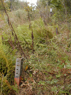
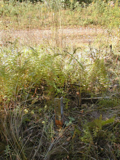
Recovered in destroyed condition.Narrative and photographs
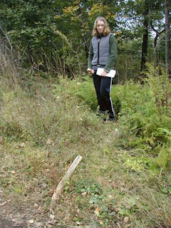
The following information, along with photos, was submitted to NGS, who subsequently declared this station Destroyed:
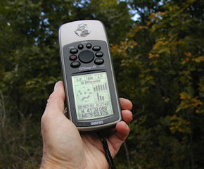
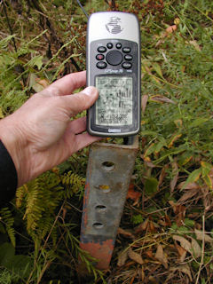
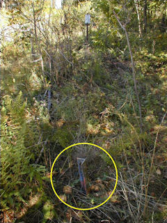
We found what we believe to be the three remaining (of four) anchor points for the legs of the airway beacon tower. No part of the northwest leg was found, but it was easy to determine its prior position by taking measurements from the other legs. This position coincided with the measurement of 17.7 feet west from station LY2803 (given in LY2803’s description). WAAS-corrected coordinates obtained at what would have been the center of the base of the tower were identical to those coordinates given on the datasheet.
Station landmark no longer exists.
This station was located and identified but the station landmark was destroyed. The airway beacon tower was dismantled and removed. Three of the embedded anchor points for the beacon tower legs remain protruding roughly 12-15 inches above the ground. The fourth leg, which is referred to in the historic description for LY2803, appears to have been close to the edge of the gravel roadway and was most likely pulled out. At what would have been the center of the base of the tower, a Garmin GPSmap76 receiver was used to record WAAS-corrected coordinates which were identical to the adjusted coordinates listed on the NGS datasheet. ~Rich in NEPA~
Note: NGS has subsequently declared this station as destroyed based on a recovery report submitted by Zhanna.
