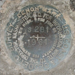
S 281
Spatial/elevation data
| Coordinates | N 41.294933° W 75.52275° |
| Elevation | 1878.32 ft. |
| Location | Pennsylvania
Lackawanna County Moscow Quad |
Mark description
| Type | Bench Mark Disk |
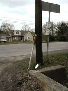
| Setting | Concrete Culvert |
| Monumented | 1961 by NGS |
| Description (NGS) | NGS Datasheet |
Narrative and photographs
This mark was an easy find as the description of its location is accurate. I was surprised to find the old headwall still in place, but this area hasn’t been built up as much as some of the nearby intersections. The disk is in good condition and the date and designation are clearly legible.

