W 278 (LY1589)
W 278
Recovered in Destroyed Condition on May 25, 2013
Spatial/elevation data
| Coordinates | N 41.427525° W 75.614161° (estimate) |
| Elevation | 1054.31 ft. |
| Location | Pennsylvania
Lackawanna County Olyphant Quad |
Mark description
| Type | Bench Mark Disk |
| Setting | Bridge Wingwall |
| Monumented | 1961 by PA Dept. of Highways |
| Description (NGS) | NGS Datasheet |
NGS recovery information
Descriptive text
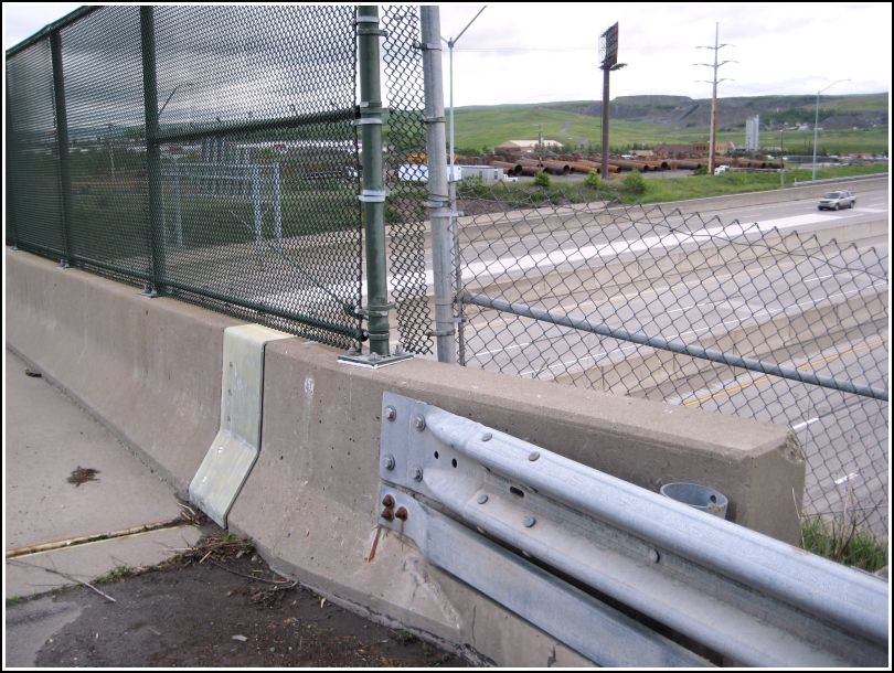
Mark not found. It was removed when the bridge was replaced. There is a new PennDOT survey control disk set in the top of the east barrier of the bridge, but this is not W 278.Narrative and photographs
On our way home from buying flowers at nearby Jerry’s For All Seasons, Rich and I stopped on the Reeves Street bridge to sort out the truth about this mark. Six geocachers have logged this mark “found,” while the NGS history clearly states that it was destroyed when the old bridge was replaced in 2002. We discovered that the disk currently set into the east sidewall of the bridge is not W 278. It is a modern, unstamped PennDOT survey disk. Although the original description does not make it clear whether W 278 was in the northern or southern end of the old bridge, this disk is almost certainly not in the same location or at the same elevation as W 278.