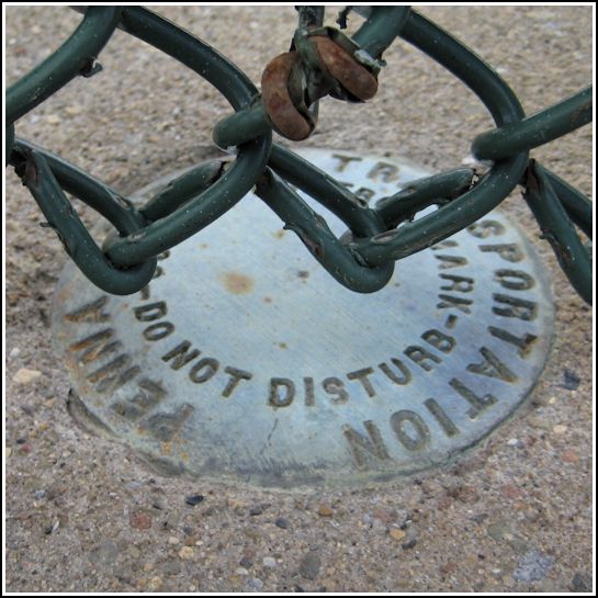
PennDOT (Unstamped, #1)
PennDOT (Unstamped, #1)
Recovered in Good Condition on May 25, 2013
Spatial/elevation data
| Coordinates | N 41.426883° W 75.614617° |
| Elevation | Unknown |
| Location | Pennsylvania
Lackawanna County Olyphant Quad |
Mark description
| Type | Survey Control Mark |
| Setting | Bridge Bannister |
| Monumented | Unknown by PennDOT |
| Description (PennDOT) | Unavailable. |
Narrative and photographs
On our way home from shopping in Dunmore, Rich and I stopped at the Reeves Street bridge to see if we could clear up the confusion over W 278 (LY1589). Over the past few years several geocachers have logged this NGS mark as Found, but their photos all showed a PennDOT disk instead of an NGS disk. We discovered that they were indeed finding and logging the wrong disk. We could find no sign of W 278, and a 2002 recovery from PennDOT on the official datasheet confirms that W 278 was removed when the bridge was replaced. It’s not clear when this unstamped disk was set.
