876.98 (LY1346)
876.98
Spatial/elevation data
| Coordinates | N 41.481166° W 75.545133° |
| Elevation | 877.04 ft. |
| Location | Pennsylvania
Lackawanna County Olyphant Quad |
Mark description
| Type | Chiseled Cross |
| Setting | Concrete Culvert |
| Monumented | Unknown by Delaware and Hudson Railroad |
| Description (NGS) | NGS Datasheet |
Narrative and photographs
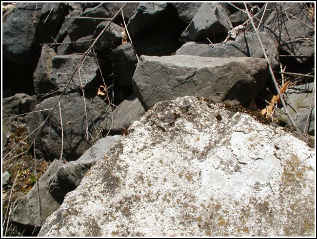
This was our third stop on today’s benchmark tour. This was another tricky mark to spot! I agree with Rich that the mark may have been damaged when the ditch was constructed, though what remains of the mark is quite clear and in fact, it appears to have been a chiseled square rather than a chiseled cross.

(Recovered on April 10, 2003)
This vertical control station is about 0.2 mile east from the intersection of the D&H railroad and Breaker St. in Winton. The historic description is confusing with regard to the cardinal compass directions at the site. A chiseled cross is located on the extreme west end on the top surface of the south parapet. At the station mark my Garmin GPSmap76 receiver indicated 44.9 feet from the NGS datasheet coordinates. The mark was well exposed and is fairly well defined (after 69 years!), but the corner of the wall may have been damaged during the construction of the adjoining rock-lined drainage ditch. ~Rich in NEPA~


