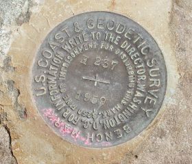
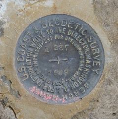
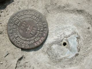
H 237
Spatial/elevation data
| Coordinates | N 41.372716° W 75.078933° |
| Elevation | 1411.00 ft. |
| Location | Pennsylvania
Pike County Pecks Pond Quad |
Mark description
| Type | Bench Mark Disk |
| Setting | Boulder |
| Monumented | 1959 by NGS |
| Description (NGS) | NGS Datasheet |
NGS recovery information
Descriptive text
Recovered in destroyed condition.Narrative and photographs
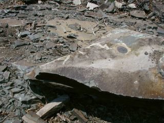
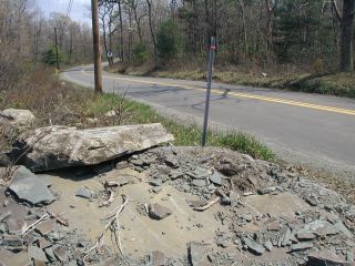
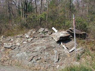
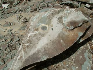
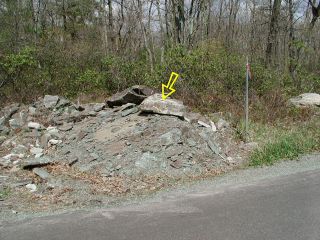
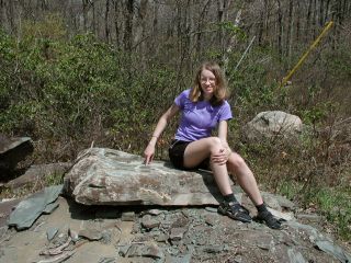
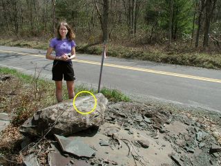
What a way to start the day! On paper, this looked like it would be a simple, typical side-of-the-road benchmark find. But when we arrived on the scene, we found that the large boulder into which the mark is set has been destroyed, probably by heavy equipment. The rock has separated into several large chunks and many smaller pieces of rubble. The section that includes the benchmark was simple balancing on top of the pile! The mark is obviously unusable in such an unstable setting, not to mention that it has moved considerably from its surveyed elevation. We will contact NGS to report our findings, and I assume that they will mark this one Destroyed.
Station is destroyed.
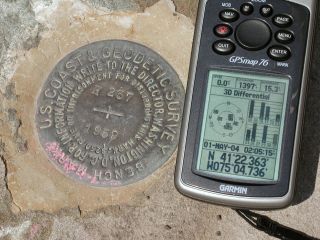
This second order vertical control station was set in the top of large boulder along the west-bound shoulder of Blooming Grove Road, roughly 2.6 miles east of the intersection with Rt. 402, and roughly 1 mile west-northwest of the intersection with Rt. 739 at Lords Valley. The historical description leads reliably to the station. However, the boulder has been destroyed (speculation is it was hit by a snowplow or bulldozer), and the chunk of rock with the mark still in it was simply placed atop the pile of rubble as if nothing happened! At the point where the station was found, a Garmin GPSmap76 receiver with remote active antenna was used to record WAAS-corrected coordinates which were 117.3 feet from the scaled coordinates listed in the NGS datasheet. ~Rich in NEPA~
Note: Zhanna has submitted an official recovery report to NGS.
Update (June 24, 2004): Station mark removed.
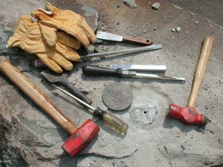
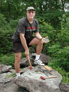
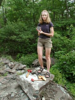
NGS has directed that the mark be removed in order to eliminate confusion and errors. Zhanna and I returned to the site on this date to extricate the disk from the remaining piece of the boulder. ~Rich in NEPA~
Photos are attached demonstrating the mark’s removal.
Also see this forum post for more details on the removal:
