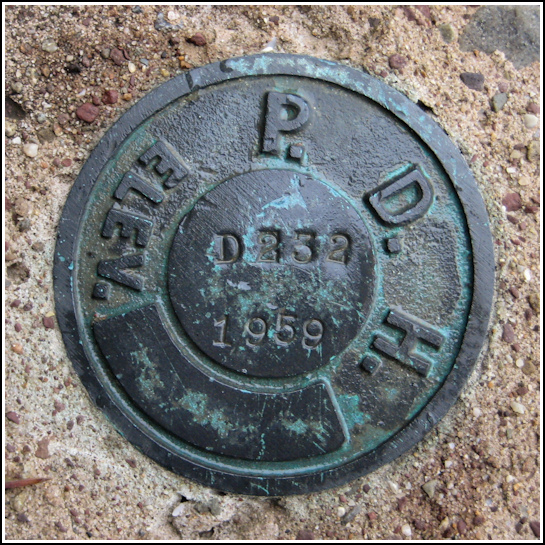
D 232 PADH (KV2826)
D 232 PADH
Recovered in Good Condition on May 25, 2012
Spatial/elevation data
| Coordinates | N 40.951483° W 75.998883° |
| Elevation | 1567.82 ft. |
| Location | Pennsylvania
Luzerne County Hazleton Quad |
Mark description
| Type | Survey Mark |
| Setting | Bridge Wingwall |
| Monumented | 1959 by PA Dept. of Highways |
| Description (NGS) | NGS Datasheet |
NGS recovery information
Descriptive text
Recovered in good condition.Narrative and photographs
On my way to the 14th annual Death Hike, I took a slight detour from Route 924 to Old Route 924 in order to search for this mark. The fog was dense, but the bridge was easy enough to spot as I approached, and the standard PDH mark was similarly easy to see from a distance. It is in good condition on the south wingwall of the southwest abutment of the bridge, as described. I found a deer tick on one of the tall weeds in this location (prompting Dr. Monks to wonder whether ticks hang out near benchmarks with the knowledge that sooner or later, someone will arrive and provide a tasty meal)!


