5 HLZ
5 HLZ
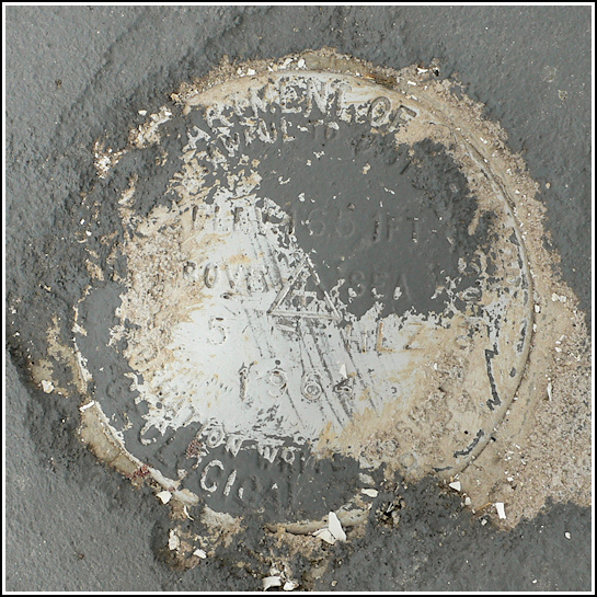
Recovered in Good Condition on September 26, 2009
Spatial/elevation data
| Coordinates | N 41.42195° W 75.4864° |
| Elevation | 1651.412 ft. |
| Location | Pennsylvania
Lackawanna County Lake Ariel Quad |
Mark description
| Type | Bench Mark Disk |
| Setting | Concrete Foundation |
| Monumented | 1964 by USGS |
| Description (USGS) | Mt. Cobb, 0.7 mi NE. of, along state hwy.; at Jefferson High School; 8 ft S. of main entrance to school; in top pillar foundation; standard tablet stamped “5 HLZ 1964 1651” |
Narrative and photographs
It’s impossible to miss this benchmark! The old school, now the Jefferson Township Municipal Building, is a prominent landmark. The disk has been painted over several times (and the layers of paint partially scraped away); it is in good condition with legible stamping, solid in its setting.


