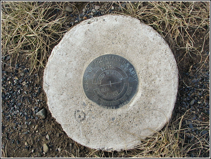
366+50
366+50
Recovered in Good Condition on February 3, 2003
Spatial/elevation data
| Coordinates | N 41.2506° W 75.887833° |
| Elevation | Unknown |
| Location | Pennsylvania
Luzerne County Kingston Quad |
Mark description
| Type | Survey Mark |
| Setting | Round Concrete Monument |
| Monumented | Unknown by Army Corps of Engineers |
Narrative and photographs
After pulling a nearby geocache from its hiding spot early this Monday morning, Rich and I decided to take the cache up to a bench on the levee to examine the contents and take photos. Imagine my surprise when this marker appeared at my feet! Most likely this marker was placed as a part of the Army Corps of Engineers’ Wyoming Valley project.

