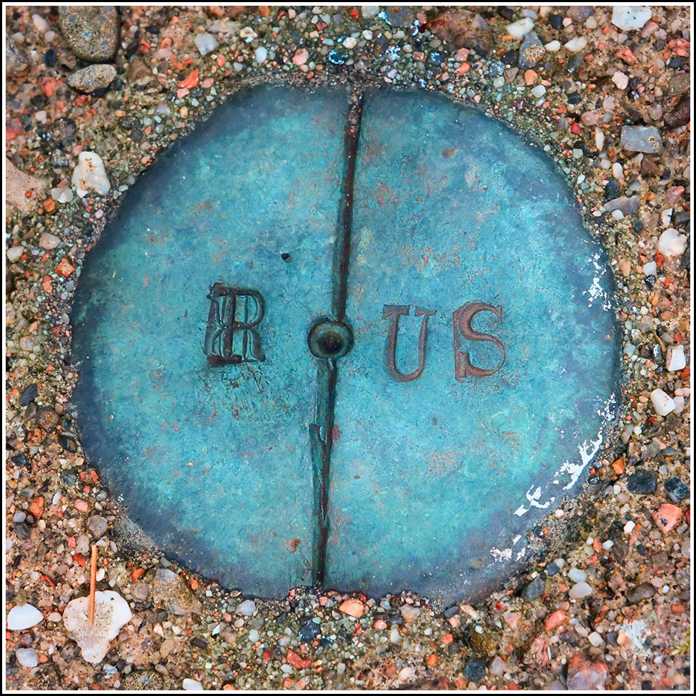
R/US
R/US
Recovered in Good Condition on September 14, 2022
Spatial/elevation data
| Coordinates | N 44.308501° W 68.246122° |
| Elevation | Unknown |
| Location | Maine
Hancock County Seal Harbor Quad |
Mark description
| Type | Boundary Monument |
| Setting | Concrete Post |
| Monumented | Unknown by Unknown Agency |
Narrative and photographs
Today was a good day for boundary monuments along the Seaside Path! This was the third R/US disk we found, and the fourth disk overall (the first had no stamping, but otherwise appeared very similar to this one). They are all in fair to good condition. An adjacent witness post makes this monument hard to miss.

