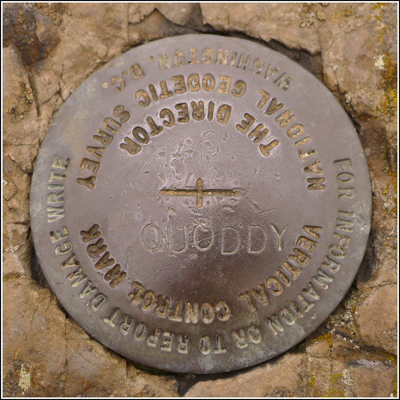
QUODDY
QUODDY
Recovered in Good Condition on September 19, 2015
Spatial/elevation data
| Coordinates | N 44.90858° W 66.99356° |
| Elevation | Unknown |
| Location | Maine
Washington County Eastport Quad |
Mark description
| Type | Vertical Control Mark |
| Setting | Bedrock |
| Monumented | Unknown by NGS |
Narrative and photographs
While wandering around on top of the Eastport bluff known as Battery Hill, Rich and I came across this vertical control mark. We hadn’t known about it in advance—we later found out that it’s not in the NGS database, even though it is an NGS disk, which explains our ignorance of it. Now the question is: where is the data? Was the mark set but not surveyed? It is not stamped with a date but appears to be a relatively new mark in good condition.

