BAR HARBOR CHURCH (PE1813)
BAR HARBOR CHURCH
Spatial/elevation data
| Coordinates | N 44.387299° W 68.206214° |
| Elevation | Unknown |
| Location | Maine
Hancock County Bar Harbor Quad |
Mark description
| Type | Landmark/Intersection Station |
| Setting | Building Spire |
| Monumented | Unknown by Unknown Agency |
| Description (NGS) | NGS Datasheet |
Narrative and photographs
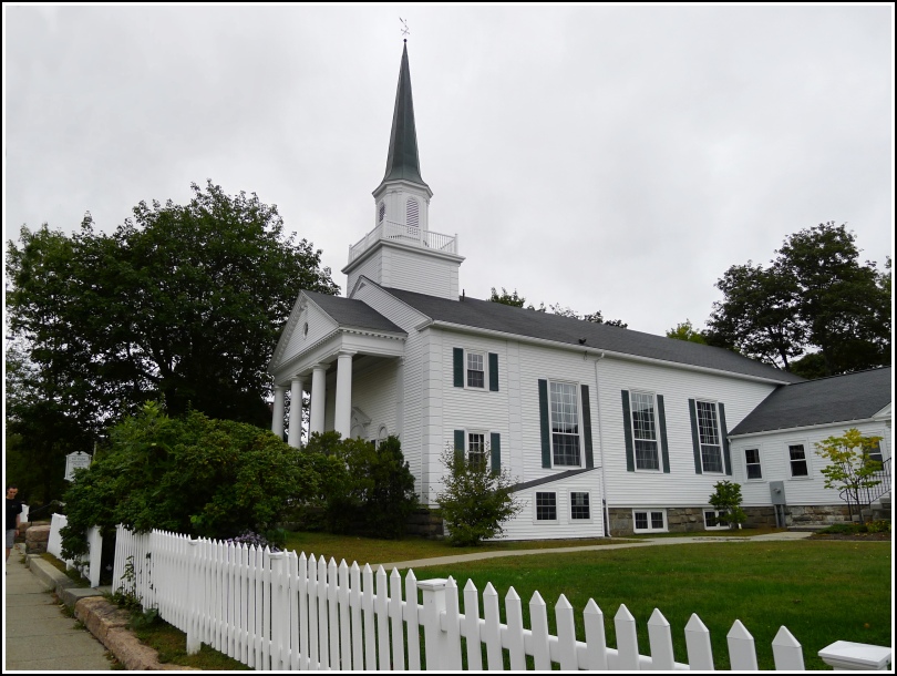
I am not sure why it is that, in all the years we’ve been coming to Bar Harbor, we never “recovered” this station. I think I may initially have been discouraged by the 1944 recovery note that says “This station is lost.” That’s true in a sense: the granite structure that had served the congregation since 1889 burned in 1942. But it was replaced in 1951 by a new church built in very nearly the same location, and a careful reading of the 1970 recovery note implies that new observations were taken upon the new steeple. These new observations should be valid and reliable. For this reason, I’m going to say that the station is in fact recoverable.
Today, on the last full day of our 2013 visit, we stopped on our last walk around town to take a few photos of the church. We found it in apparently good condition. Note that the church in question is the Congregational Church at 29 Mount Desert Street and not St. Saveur’s Episcopal Church next door.
