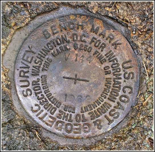
V 144 (PE0278)
V 144
Spatial/elevation data
| Coordinates | N 44.37875° W 68.2359° |
| Elevation | 266.16 ft. |
| Location | Maine
Hancock County Bar Harbor Quad |
Mark description
| Type | Bench Mark Disk |
| Setting | Rock Outcrop |
| Monumented | 1962 by NGS |
| Description (NGS) | NGS Datasheet |
NGS recovery information
Descriptive text
Found in good condition as described in the 2000 recovery. Handheld GPS coordinates for the mark are 44 22 43.5(N) 068 14 9.2(W).Narrative and photographs
Soggy days such as this aren’t my favorite for benchmark hunting, but four marks lined the route we were taking anyway, and I couldn’t resist taking a peek for each one. The first mark was an easy find, and not just because Rich had already found it a few years before. It is set into a conspicuous rock outcrop down in a slight gully just north of Route 233. The mark itself was difficult to spot as it was covered with moss and debris, but we knew it was set somewhere in the ledge. It was just a matter of a minute or so before we uncovered it, and then another few minutes of slight inconvenience as I took my photos in the rain. The mark is in excellent condition.


 culvert, seen from the road.")

(Recovered on September 11, 2002)
N 44° 22.726’ W 068° 14.151’
While vacationing on M.D.I. I decided to search for a few local benchmarks. I drove out along Route 233 from Bar Harbor and easily found the mark using the historical description. At the station my Garmin GPSmap76 receiver indicated approximately 386 feet from the posted coordinates. The disc was covered by a couple inches of dirt and dried pine litter, and is in very good condition. ~Rich in NEPA~


