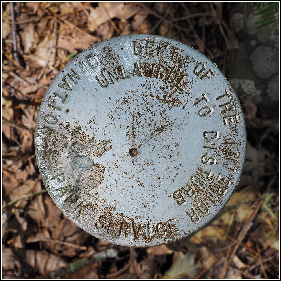
NPS (Unstamped, Acadia #15)
NPS (Unstamped, Acadia #15)
Recovered in Good Condition on September 17, 2023
Spatial/elevation data
| Coordinates | N 44.380898° W 68.309181° |
| Elevation | Unknown |
| Location | Maine
Hancock County Salsbury Cove Quad |
Mark description
| Type | Boundary Monument |
| Setting | Steel Pipe |
| Monumented | Unknown by National Park Service |
Narrative and photographs
This was the sixth and final boundary marker I found today while hiking in the Kittredge Brook Forest Preserve. This mark is located along the Kittredge Brook Trail, at the northernmost point along that trail where Acadia National Park land touches the preserve. The disk is in fair condition, with some corrosion on its surface. Like most of the other disks here, it also has some scratches in the middle that may have been an attempt to give it some kind of designation, but it is unstamped.

