NPS (Unstamped, Acadia #14)
Recovered in Good Condition on September 17, 2023
Spatial/elevation data
| Coordinates | N 44.380638° W 68.308681° |
| Elevation | Unknown |
| Location | Maine
Hancock County Salsbury Cove Quad |
Mark description
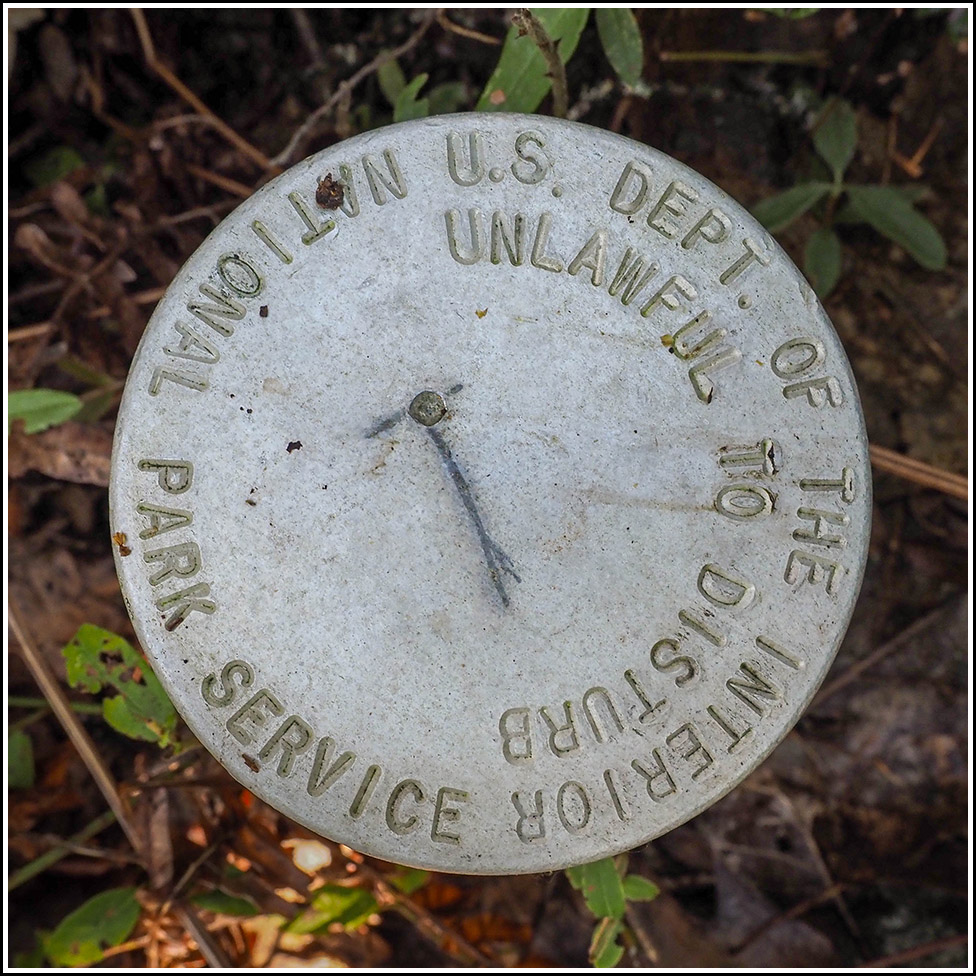
| Type | Boundary Monument |
| Setting | Steel Pipe |
| Monumented | Unknown by National Park Service |
Narrative and photographs
This was the fifth of six boundary markers I found today in Kittredge Brook Forest Preserve. It’s located along the Kittredge Brook Trail, not long after it heads northwest from the Vernal Pool Loop. The disk is in good condition, and like others in this area it has a scratch in the center that may have served as some kind of marking, although it is unstamped.

