ELK MOUNTAIN LOT 1959
Spatial/elevation data
| Coordinates | N 41.715061° W 75.560732° |
| Elevation | Unknown |
| Location | Pennsylvania
Susquehanna County Clifford Quad |
Mark description
| Type | Landmark/Intersection Station |
| Setting | Fire Lookout Tower |
| Monumented | 1959 by NGS |
| Description (NGS) | NGS Datasheet |
Narrative and photographs
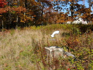
Many of the fire lookout towers we search for are long gone, and this is no exception. Several of the concrete supports remain, as does the concrete step into which TT 24 A is set. Rich and I always enjoy finding whatever remains of these towers!
According to the Former Fire Lookout Sites Register, “This steel Aermotor tower was built in 1921 and was removed before 1989.”
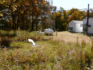
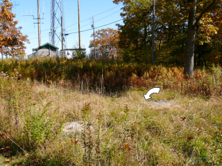
In the images below, the arrow indicates the location of USGS bench mark disk TT 24 A, which is set into a concrete slab that served as the base for the steps climbing the lookout tower. The mark is indicated in all three images just for reference and orientation purposes.


