M 237 (LY1161)
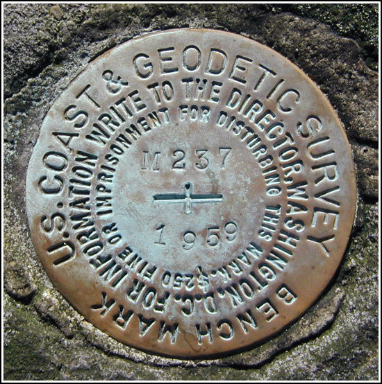
M 237
Spatial/elevation data
| Coordinates | N 41.3257° W 75.18645° |
| Elevation | 1805.05 ft. |
| Location | Pennsylvania
Pike County Promised Land Quad |
Mark description
| Type | Bench Mark Disk |
| Setting | Boulder |
| Monumented | 1959 by NGS |
| Description (NGS) | NGS Datasheet |
NGS recovery information
Descriptive text
Station mark recovered in good condition. There are significant errors in the description. New route description follows. From the Rock Oak trailhead on North Shore Road, travel 0.70 mile northeast along Rock Oak trail to its intersection with Telephone Trail, then 0.30 mile easterly on Telephone Trail to trail marker 75 (Whittaker Trail junction). The station is set in the top of a 15 foot by 8-1/2 foot by 5 foot outcropping boulder on the south side of Telephone Trail, approximately 55 yards east-southeast of trail marker 75. The station is 2-1/2 feet above the level of the ground and about 5-1/2 feet west of a 3-foot diameter forked white pine. Several hundred feet north of the trail junction is a swamp that may have been mistaken for Bruce Lake in the 1959 description. Handheld GPS WAAS-corrected coordinates for the station are 41 19 32.40(N) 075 11 11.28(W).Narrative and photographs
This mark has possibly one of the most confusing descriptions we’ve seen. On our first try (December 4), we attempted to follow the directions, using the coordinates also as a guide. We were thrown off by the mention of Bruce Lake, as Bruce Lake is several miles north of the Rock Oak Trail. That first hike took us too far south on the Whittaker Trail (approximately 1/3 mile, as we later learned) and though we searched a relatively wide area we were unable to find the mark.
Our second attempt was more fruitful. Disregarding the coordinates and using only the description and our experience as a guide, we were able to zero in on the correct location and found the large forked white pine tree, the boulder and the mark with very little difficulty.
The mark is in excellent condition, and all stamping is legible. We took the measurements indicated in our NGS recovery note, and set off to find LY1160, the next in the series.


Station recovered in good condition.
This second order vertical control station is set in the top of a 8½’ x 15’ x 5’ high outcropping boulder along Telephone Trail within Promised Land State Park. The historical description is only partially helpful in locating the station as there are significant errors. For example, the NGS coordinates mistakenly place the station roughly 1700 feet south along the Whittaker Trail, and the reference to Bruce Lake (nearly 2.5 miles to the NNE) is completely wrong. At the south end of a swamp near the junction of Telephone and Whittaker trails there is a large pond (certainly not a lake!) whose southeast edge is about the right distance from the station, as suggested in the descriptive text. The station is to the right of the trail roughly 55 yards east-southeast of trail marker #75. It is about 2½ feet above the level of the ground and roughly 5½ feet from a 3-foot diameter forked white pine tree. At the station a Garmin GPSmap76 receiver with remote active antenna was used to record WAAS-corrected coordinates which were 0.3 miles from the scaled coordinates listed in the NGS datasheet. The mark is well exposed, in good condition, and the stamped designation is legible. ~Rich in NEPA~


