9 A 1
Spatial/elevation data
| Coordinates | N 40.79045° W 74.057733° |
| Elevation | 9 ft. |
| Location | New Jersey
Hudson County Weehawken Quad |
Mark description
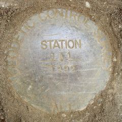
| Type | Geodetic Control Survey Disk |
| Setting | Round Concrete Monument |
| Monumented | 1992 by New Jersey Geodetic Survey |
| Description (NGS) | NGS Datasheet |
Narrative and photographs
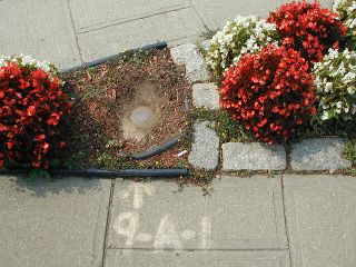
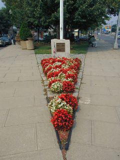
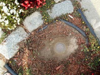
This survey disk was located on a morning walk around town with friends from Secaucus. Although it was buried beneath almost an inch of soil and mulch, the mark was an easy find: an arrow and the designation are painted on the sidewalk nearby, and the description given on the datasheet is still accurate. The disk is in good condition and the stamping is legible.


