854 5530 TIDAL 29
Not Found as of January 18, 2003
Update (June 12, 2009)
Spatial/elevation data
| Coordinates | N 39.952972° W 75.163444° |
| Elevation | 45.56 ft. |
| Location | Pennsylvania
Philadelphia County Philadelphia Quad |
Mark description
| Type | Tidal Bench Mark Disk |
| Setting | Granite Foundation |
| Monumented | 1922 by NGS |
| Description (NGS) | NGS Datasheet |
Narrative and photographs
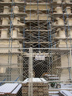
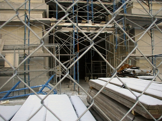
This one may still be in place, but there was no way we could get near it with all the scaffolding that’s been erected around City Hall. I was really looking forward to this one, too! We just weren’t having too much luck with the benchmarks today. We will have to try again!


