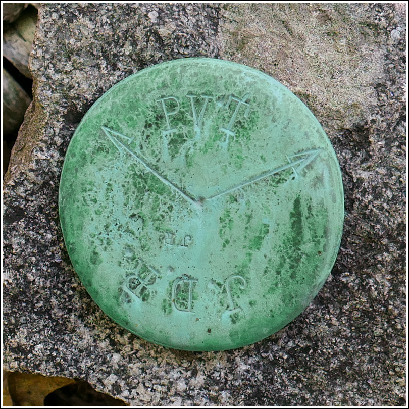
JDR/PVT
Recovered in Poor Condition on September 9, 2019
Spatial/elevation data
| Coordinates | N 44.383416° W 68.226527° |
| Elevation | Unknown |
| Location | Maine
Hancock County Bar Harbor Quad |
Mark description
| Type | Boundary Monument |
| Setting | Granite Post |
| Monumented | Unknown by Unknown Agency |
Narrative and photographs
This is one of several boundary markers we found in deep woods while exploring near the old Archbold estate. Like others in this area, it is in quite poor condition, its granite post leaning at a severe angle.
