CL
CL
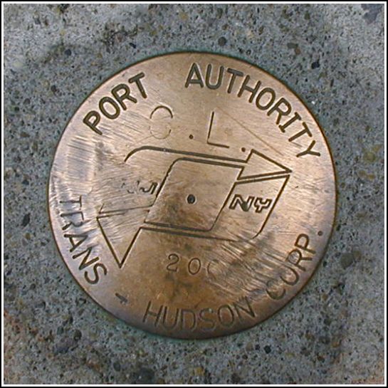
Recovered in Good Condition on July 30, 2005
Spatial/elevation data
| Coordinates | N 40.709817° W 74.011617° |
| Elevation | Unknown |
| Location | New York
New York County Jersey City Quad |
Mark description
| Type | Survey Mark |
| Setting | Concrete Sidewalk |
| Monumented | 2003 by Port Authority Trans-Hudson |
| Description (Port Authority Trans-Hudson) | Unavailable. |
Narrative and photographs
Because of the current reconstruction and restoration of this downtown area, it seems nearly every corner holds some sort of survey mark—either a cross chiseled in the sidewalk, or a survey disk. This PATH disk, CL, is a disk set in the sidewalk near the corner of Church Street and Liberty Street (hence the designation CL). It is in good condition.

