BOUNDARY MON 166 MX US (CH0184)
BOUNDARY MON 166 MX US
Recovered in Good Condition on March 27, 2019
Spatial/elevation data
| Coordinates | N 31.865918° W 112.771309° |
| Elevation | 1401 ft. |
| Location | Arizona
Pima County South of Lukeville Quad |
Mark description
| Type | Boundary Monument |
| Setting | Boundary Monument |
| Monumented | 1936 by International Boundary and Water Commission |
| Description (NGS) | NGS Datasheet |
Narrative and photographs
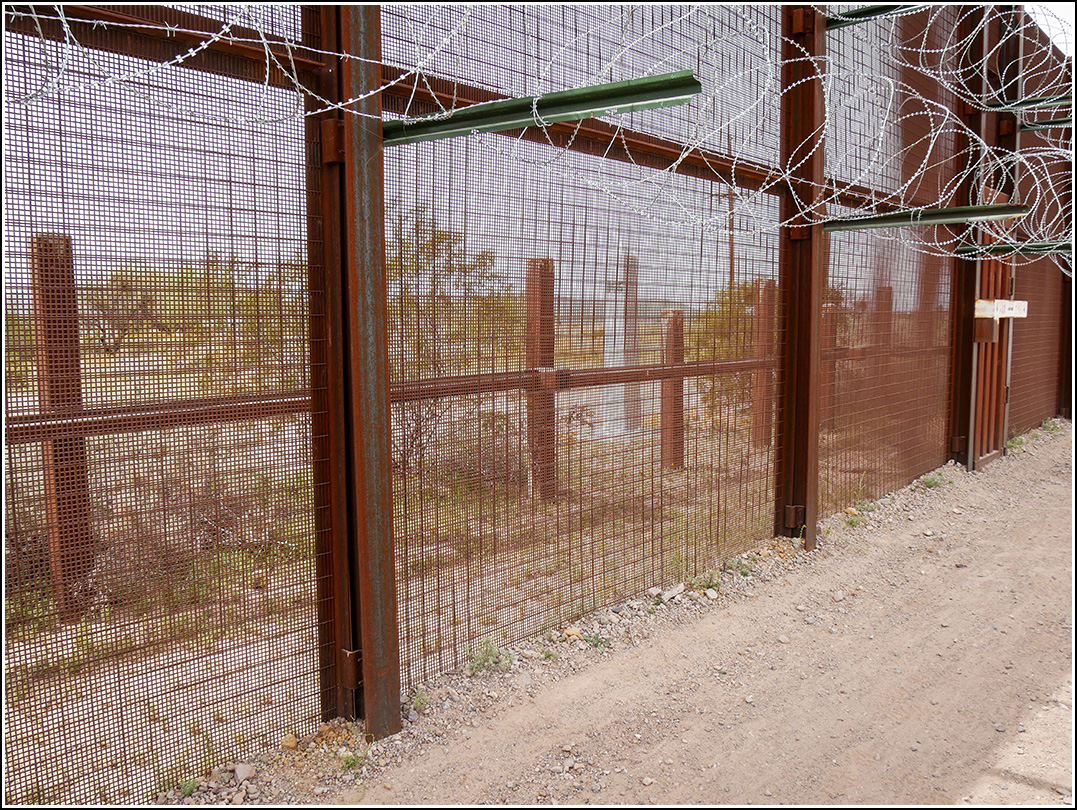
Moving on from Gachado Line Camp, the border road (Camino de Dos Republicas) curves south to travel right alongside the border. At this spot there is a high fence that unfortunately partially blocked our view, and limited our photo-taking, of the obelisk that serves as the border monument. The reference marks were supposedly set along the fenceline, but we couldn’t find them, and due to the fence and barbed wire couldn’t get close enough for a true search.There was a dirt berm along the road which may have been pushed up over the reference marks, concealing them. We also realized that the next mark on our list, SHACK, served as the azimuth mark for this monument.

| Designation | Status | Condition | Image |
|---|---|---|---|
| BOUNDARY MON 166 RM 1 | Not Found | Unknown (Not Found) |

|
| BOUNDARY MON 166 RM 2 | Not Found | Unknown (Not Found) |
|