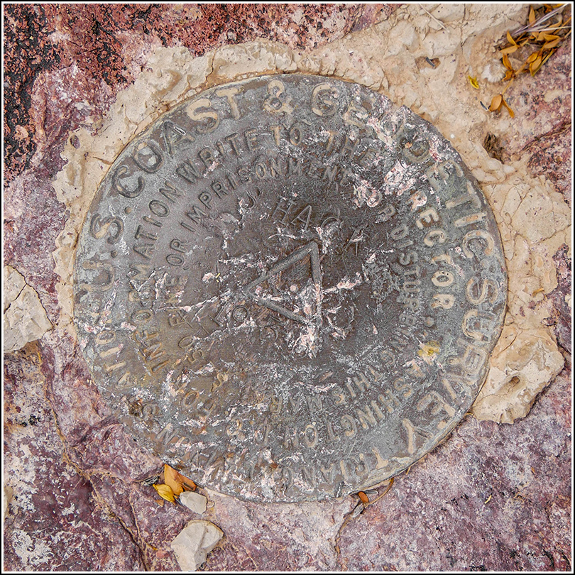
SHACK (CH0185)
SHACK
Spatial/elevation data
| Coordinates | N 31.86551° W 112.755464° |
| Elevation | 1544.8 ft. |
| Location | Arizona
Pima County South of Lukeville Quad |
Mark description
| Type | Triangulation Station Disk |
| Setting | Rock Outcrop |
| Monumented | 1936 by NGS |
| Description (NGS) | NGS Datasheet |
NGS recovery information
Descriptive text
The station and both reference marks were recovered in good condition. The site is located within Organ Pipe Cactus National Monument. Follow Camino De Dos Republicas and the Border Road southeast from Arizona SR85 for about 4.25 miles, then hike north to the station on the hill.Narrative and photographs
Our main goal for this morning was to look for the triangulation station SHACK atop a small hill near Dos Lomitas ranch. We weren’t sure how best to approach the mark at first, so we held off for a bit and continued along the border road (Camino de Dos Republicas) as far as the public is allowed, to what remains of the Dos Lomitas Ranch/Blankenship Well: a neat adobe house, partially restored, and some other relics of past ranching operations in this area.
After exploring the ranch, we backtracked along the road and found a pulloff that we thought would be a good starting point for our hike to SHACK. The straight line distance from this spot was .32 miles and the peak wasn’t too high—it looked easily doable. And it was! The first part of the hike took us over low ground and a wash, quite easy. We began climbing and the surface became loose and rocky, and eventually turned to large, but still loose, boulders. We had to climb over one small “false” summit before we reached the correct one, but we saw a gorgeous, large senita cactus at the first summit that thrilled both of us.
We picked our way west to the true summit and Rich sent me ahead to find the mark, which I did! It was an exciting find in an area with a beautiful expansive view over the colorful desert and into Mexico. It reminded us both of some of our old tri-station hunting adventures. The reference marks were also easy to find. All marks are in good condition, and the original description is accurate although there is no sign of the old tin shack. Interestingly, it seems that SHACK was also the azimuth mark for the boundary monument (BOUNDARY MON 166 MX US) we found earlier this morning.


| Designation | Status | Condition | Image |
|---|---|---|---|
| SHACK RM 1 | Recovered | Good |
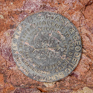
|
| SHACK RM 2 | Recovered | Good |
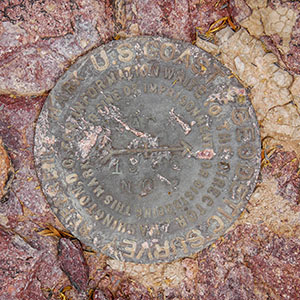
|