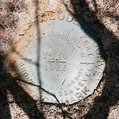
Y 110
Spatial/elevation data
| Coordinates | N 31.968916° W 112.7765° |
| Elevation | 1724.7 ft. |
| Location | Arizona
Pima County Lukeville Quad |
Mark description
| Type | Bench Mark Disk |
| Setting | Square Concrete Monument |
| Monumented | 1935 by NGS |
| Description (NGS) | NGS Datasheet |
NGS recovery information
Descriptive text
Recovered in good condition.Narrative and photographs
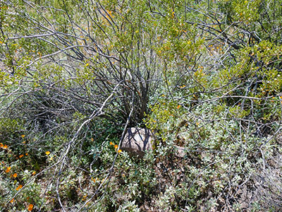
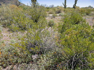
The second mark we looked for along Ajo Mountain Drive was a little more of a challenge than the first. A creosote bush has grown up and around the monument making it hard to spot and even more challenging to take photos! The mark is is good condition, and the witness post was not found.


