841 4721 A TIDAL
841 4721 A TIDAL
Spatial/elevation data
| Coordinates | N 44.470567° W 68.81315° |
| Elevation | 2.967 m. above MHW |
| Location | Maine
Waldo County Castine Quad |
Mark description
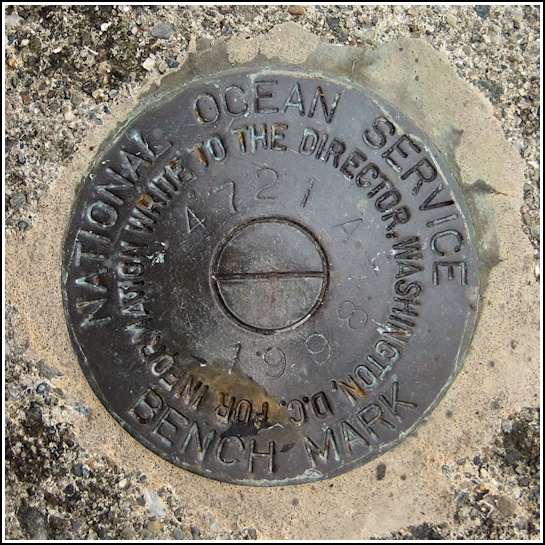
| Type | Tidal Bench Mark Disk |
| Setting | Concrete Pier |
| Monumented | 1998 by National Ocean Service |
| Description (National Ocean Service) | The bench mark is a disk set in the NW end of the concrete foundation for the State Park pier, 57.40 m (188.3 ft) SSW of the NNE end of State Park pier, 3.41 m (11.2 ft) WNW of the ESE corner of the pier foundation, and 0.34 m (1.1 ft) east of the west edge of the concrete foundation. |
Narrative and photographs
This find was due to one of those neat coincidences that happen once in a while. When leaving nearby Moose Point State Park, where Rich and I finally found convincing evidence of the stem of MOOSE (PE2580), we stopped at the gate to jokingly request our money back because we hadn’t seen a moose at Moose Point. We somehow got onto the topic of the benchmark disk while speaking with the young man at the booth.
He had a vague recollection of having heard something about the mark from a previous park superintendent, but he couldn’t recall any details. “But I know where there is one of those disks nearby!” he said. He directed us to Fort Point State Park, just about four miles up Route 3 in the direction we were traveling (and then down a side road onto Cape Jellison). There was a disk set into the pier, he claimed. We set off to search for it, and we found not only the disk, but also a fascinating state park that we certainly would not have investigated otherwise.
The disk is set into the pier foundation, as the young man had told us. It is an NOS tidal bench mark disk in good condition. Not until later in the evening, once we were relaxing in our hotel room, did I discover that there are in fact several tidal marks at Fort Point, as well as a few NGS stations (I knew I should have taken a photo of the lighthouse and of that odd buoy in the bay!).


