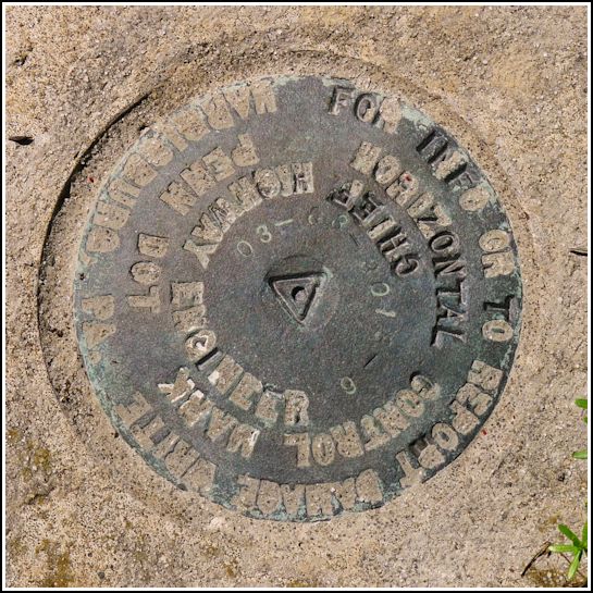
03-63-3018-6
03-63-3018-6
Recovered in Good Condition on June 28, 2014
Spatial/elevation data
| Coordinates | N 41.51725° W 75.399166° |
| Elevation | Unknown |
| Location | Pennsylvania
Wayne County Waymart Quad |
Mark description
| Type | Survey Control Mark |
| Setting | Bridge Wingwall |
| Monumented | 2003? by PennDOT |
| Description (PennDOT) | Unavailable. |
Narrative and photographs
This was an unplanned find on our way to search for TT 12 T near St. Tikhon’s monastery. It is a PennDOT horizontal control mark set into the southwest wingwall of a concrete bridge along St. Tikhon’s Road.

