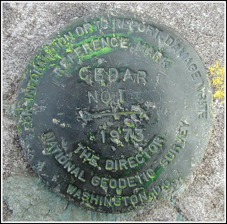
CEDAR RM 1
Recovered in Good Condition on April 6, 2003
Spatial/elevation data
| Coordinates | N 41.104017° W 74.417516° |
| Elevation | Unknown |
| Location | New Jersey
Passaic County Newfoundland Quad |
Mark description
| Type | Reference Mark Disk |
| Setting | Rock Outcrop |
| Monumented | 1973 by NGS |
Narrative and photographs
For more information about this reference mark, see its parent mark CEDAR.


