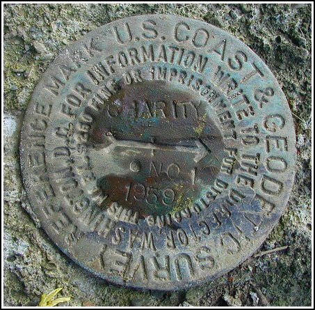
CHARITY RM 1 (LY1702)
Recovered in Good Condition on May 29, 2003
Spatial/elevation data
| Coordinates | N 41.500967° W 75.684833° |
| Elevation | 1457.41 ft. |
| Location | Pennsylvania
Lackawanna County Dalton Quad |
Mark description
| Type | Reference Mark Disk |
| Setting | Concrete Post |
| Monumented | 1959 by NGS |
| Description (NGS) | NGS Datasheet |
Narrative and photographs
For more information about this reference mark, see its parent mark CHARITY.

 and RM 2 (just before the tree on the left).")