WONDERLAND
WONDERLAND
Recovered in Good Condition on September 17, 2017
Spatial/elevation data
| Coordinates | N 44.231633° W 68.314814° |
| Elevation | 58.323 ft. |
| Location | Maine
Hancock County Bass Harbor Quad |
Mark description
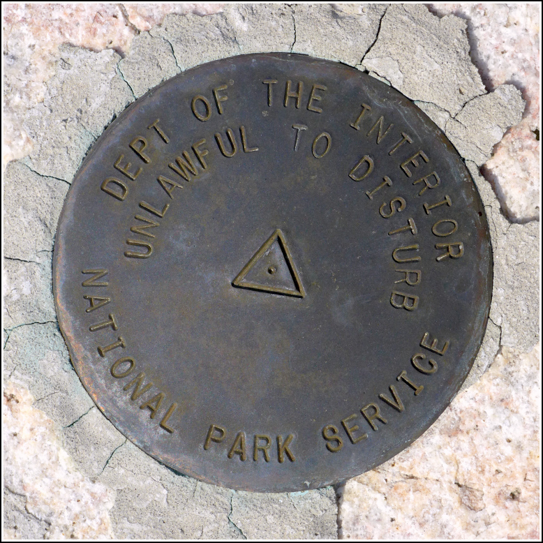
| Type | Triangulation Station Disk |
| Setting | Rock Outcrop |
| Monumented | 2011 by National Park Service |
| Description (National Park Service) | The mark is a 3 1/2 inch brass disk with a 2 1/4 inch flanged stem set in a drill hole in bedrock with hydraulic cement. To access, find the Wonderland trail head off of Seawall Rd (102A) on Mound Desert Island. Hike ~0.3 miles. The mark is ~40 ft off the trail to the NE. Contact Acadia NP before visiting as there are sensitive habitats in the area. The mark is part of the NPS-URI network of backbone monuments for Acadia National Park. See: Shared Solution for WONDERLAND |
Narrative and photographs
We took a nice third of a mile hike along the Wonderland Trail to the disk, which is set into a ledge in a protected area, as described. Somehow even though the trail was super busy today, no one came by while I was behind the rope “barrier,” which is always a relief. I did my best to step only on the bedrock and not on the lichen or mosses growing on it. The disk is in excellent condition. It is not stamped.


