TT 9 J
TT 9 J
Spatial/elevation data
| Coordinates | N 41.508963° W 75.288588° (estimate) |
| Elevation | 1162.332 ft. |
| Location | Pennsylvania
Wayne County Honesdale Quad |
Mark description
| Type | Transit Traverse Station Disk | ||||||
| Setting | Boulder | ||||||
| Monumented | 1926 by USGS | ||||||
| Description (USGS) | Hoadley; 170 ft E. of Erie RR. station; 30 ft S. of track; in large boulder; standard tablet stamped “TT STA NO 9 J 1926”
|
Narrative and photographs
Rich and I are on a quest to find more “J” bench marks, those set in the mid-1920s by Oscar Jones and which, so far, have all been made of Aich’s metal. The Erie & Wyoming Valley station and tracks are long gone, but it’s clear from satellite imagery of this area near Honesdale that part of the old railroad bed remains (and part has been turned into Railroad Drive).
We entered the Cherry Hill Mobile Home Court, passing by the yard sale set up at the entrance, and drove east toward Middle Creek. At the point where Railroad Drive meets Mangs Road very close to (but beneath) the Route 191 bridge, both roads end, but the old railroad bed continues south to pass under the bridge. We walked down the railroad bed, which was open and grassy at first but quickly became overgrown and swampy underneath the bridge. This is the general area in which we would expect to find the boulder, but we could see nothing. It’s possible that if the boulder is still in place, it was covered by vegetation at the time of our visit.
Investigating further at home, we found on an 1892 topo map what is probably the old Erie & Wyoming Valley station, but the map scale isn’t sufficiently detailed to tell us just where the station was. It may have been slightly north of where we were searching. We discovered something else interesting a day later when we looked at the historical aerial images at PennPilot: the original highway alignment (Route 90) actually followed what is now Mangs Road. When the highway was reconfigured and the current bridge was built, it’s possible that the area was excavated and the boulder was moved or buried.
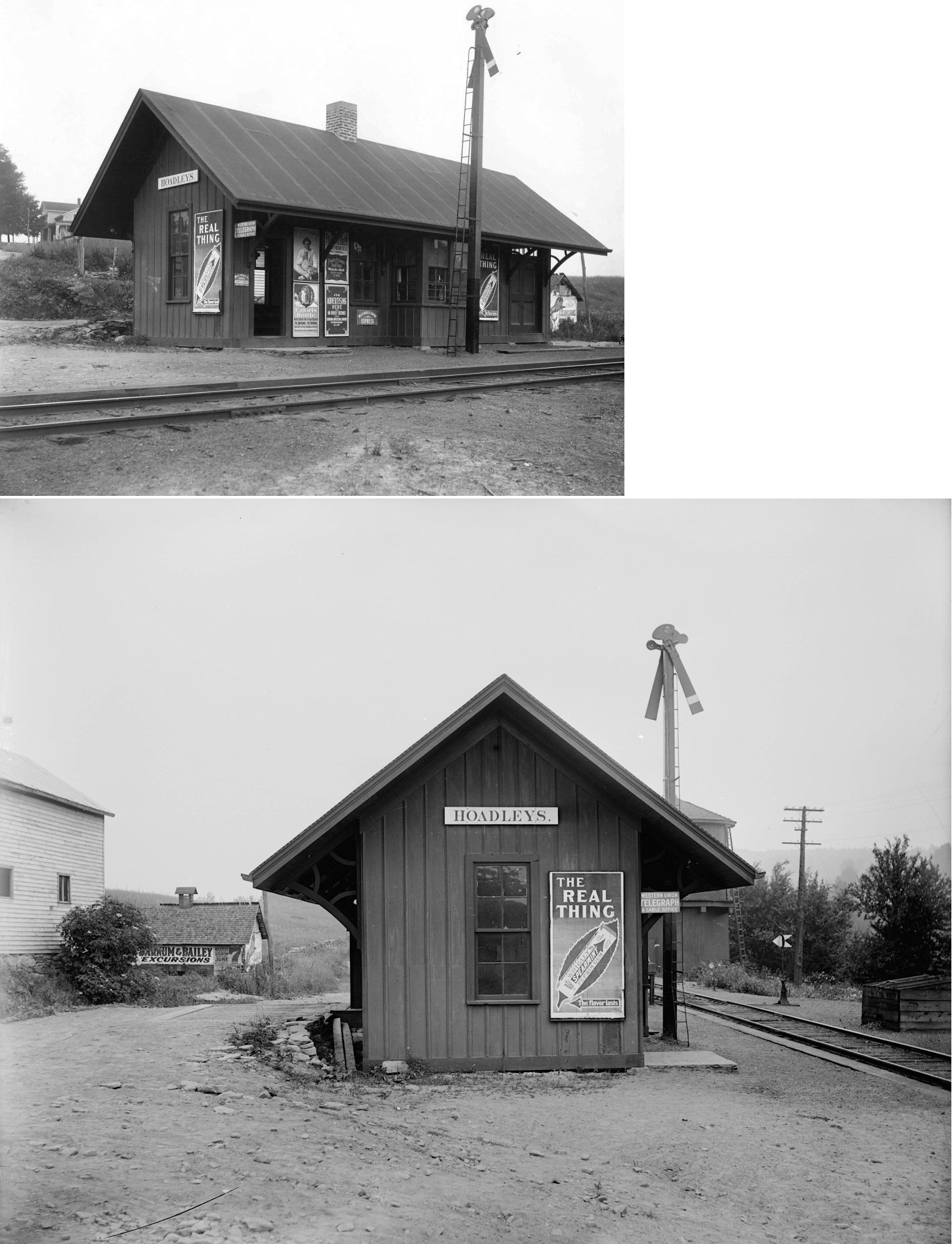
Basic research yielded the images below. The first is a section of a topographic map surveyed in 1892 (reprinted in 1941) that shows what may be the station alongside the railroad tracks and old road alignment. The second is a 1939 aerial image from PennPilot, again depicting the original alignment of the highway, Route 90. The third is a photograph of Hoadley station, which unfortunately doesn’t show much to help us figure out the station’s location or orientation. The final image is a postcard showing the area: visible are the railroad tracks and the old bridge over Middle Creek. I think this view is looking west.
Image sources:
- Hoadley’s station photo: http://www.west2k.com/papix/hoadleys.jpg. * Postcard: http://www.cardcow.com/59369/hoadleys-station-wayne-pennsylvania/.

.")

")